Trip Report
Team Trundle Tackles the NE Gully of Laurel Mtn
|
Friday July 20, 2012 1:17pm
|
|
If you want a report with pictures, visit my website, since SuperTopo has deprecated displaying photos from off-site.
June 17, 2012
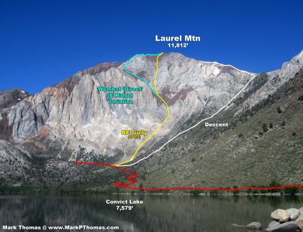
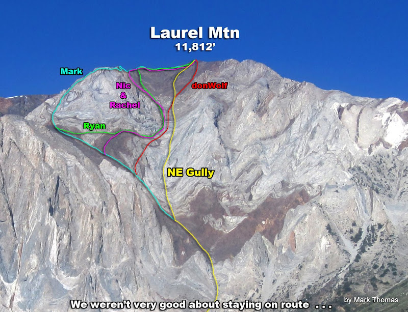
Laurel Mtn's NE Gully (III, 5.2) was our objective. Team Trundle, composed of Nic, Rachel, Ryan, donWolf and I, launched our assault at a leisurely 9:30 am.
After some forced detours around wet snow-covered steps lower down, living with some loose & gross rock, we soon arrived at the crux 5.2 chimney. We made short work of that, hauling 2 of the packs with the rope that I brought for ballast. Rock quality improved as we got higher.
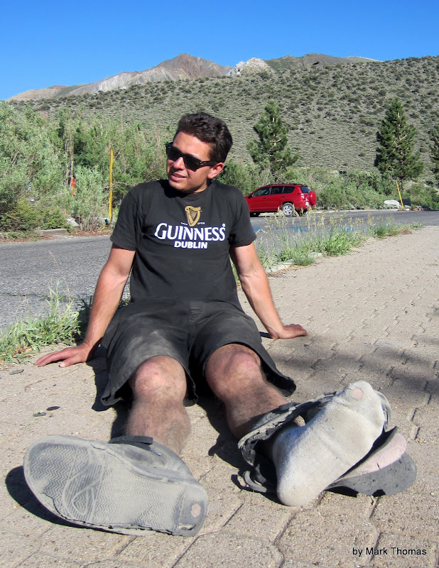
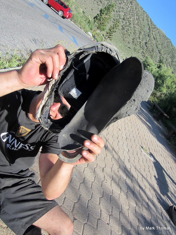
Naturally, with there being 5 of us, we climbed the mountain by 5 different lines of attack! I chose the E Ridge to flank the summit unawares, while the others scattered back across the NE gully to knock down more rocks. donWolf took the most courageous line of all, attacking the high summit directly, suffering the worst of the loose rock. As we hadn't knocked enough rocks down on our ascent, we had a pretty good scree skiing extravaganza on the descent. Unfortunately we did suffer casualties, as Nic's shoes failed to survive the beating Laurel dished out.
Nighttime Prep
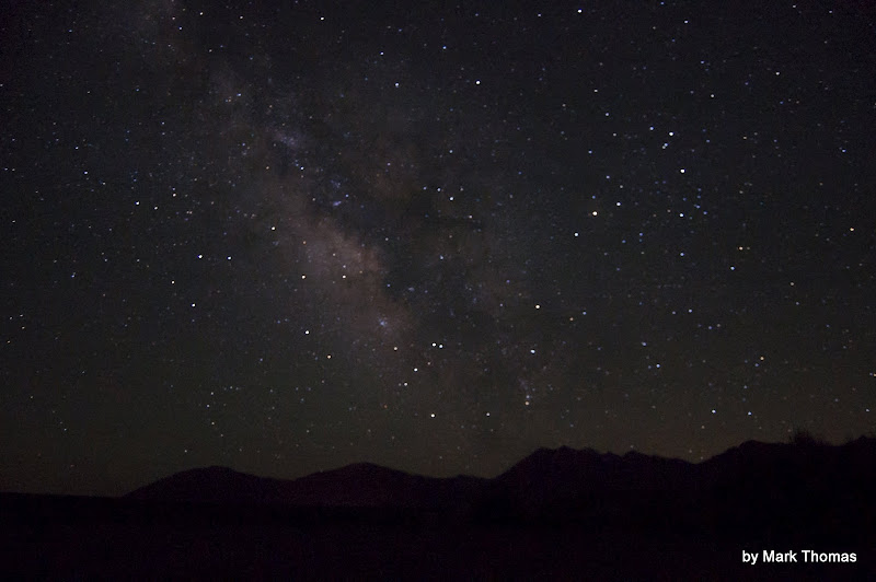
Nic and I had had a long day climbing the N Buttress of Mt Goode the day prior, so before our team was ready to take on Laurel, we had to rest and prepare . . . with beer at the nearby hot springs!
 Visit on ggpht.com Visit on ggpht.com
Milky Way over the Sierra from the hot springs.
 Visit on ggpht.com Visit on ggpht.com
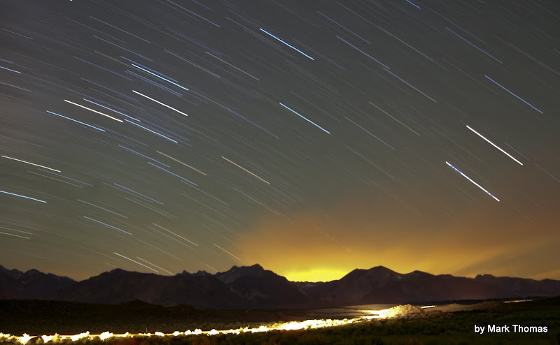
Night sky over the Sierra from the hot springs. The glow is light pollution from Mammoth reflecting on a cloud.
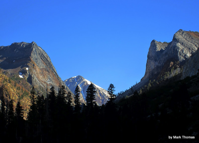
 Visit on googleusercontent.com Visit on googleusercontent.com
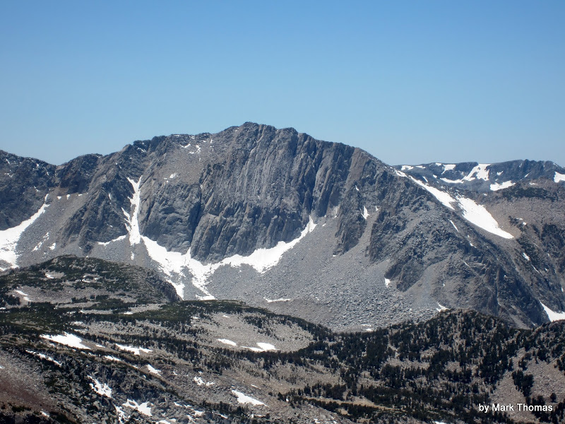
Laurel Mtn NE Gully (III, 5.2) seen from the hot springs
Climbing the NE Gully
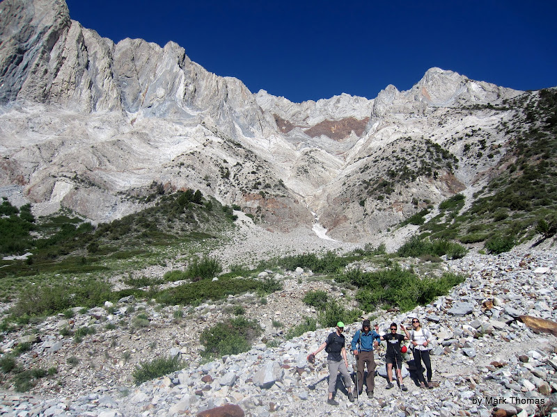 Visit on ggpht.com Visit on ggpht.com
Team Trundle, ready to start the attack.
 Visit on ggpht.com Visit on ggpht.com
Rachel giving me her 'bad ass climber' pose.
 Visit on ggpht.com Visit on ggpht.com
Cruddy start. We climbed the wall to the right to bypass the wet step. Yuck.
 Visit on ggpht.com Visit on ggpht.com
Team trundle at the first bypass, climbing dirty slab.
 Visit on ggpht.com Visit on ggpht.com
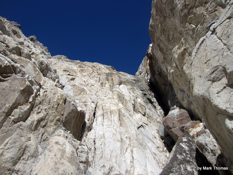
The 5.2 chimney crux. Not that bad and the rock was plenty solid.
 Visit on googleusercontent.com Visit on googleusercontent.com
Well, I brought a rope. Might as well use it for something. (by Rachel Doran)
 Visit on ggpht.com Visit on ggpht.com
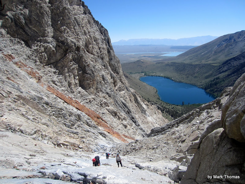
Going up the slot.
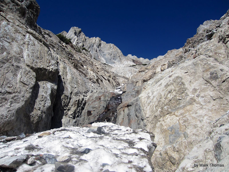
 Visit on ggpht.com Visit on ggpht.com
More mountain canyoneering. Don't be here in a rainstorm!
 Visit on ggpht.com Visit on ggpht.com
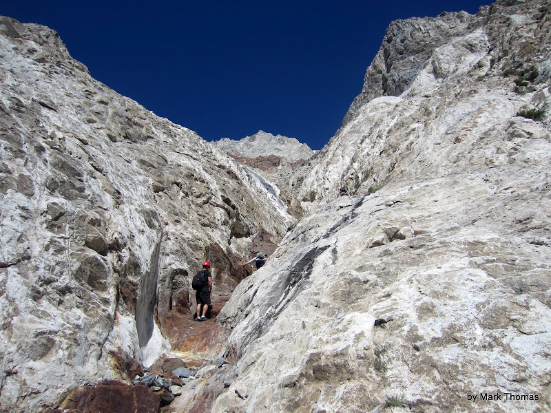
Ryan at the firs small band on the slab-tastic part of the climb. The larger red band can be seen higher up. That is the routefinding crux, which is where we went wrong.
 Visit on ggpht.com Visit on ggpht.com
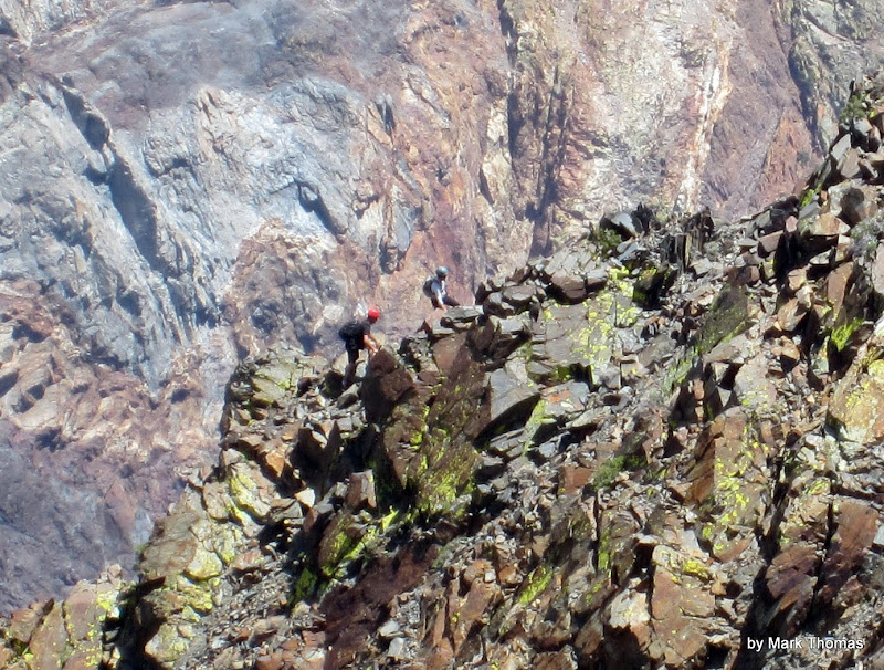
Tream Trundle on the slabulous calf burning part of the climb.
 Visit on ggpht.com Visit on ggpht.com
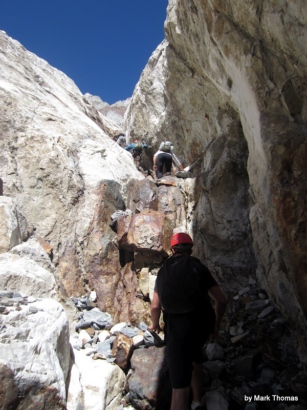
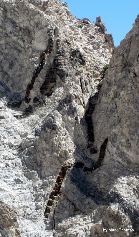
Crazy dikes. I think Laurel Mtn has worms . . .
 Visit on ggpht.com Visit on ggpht.com
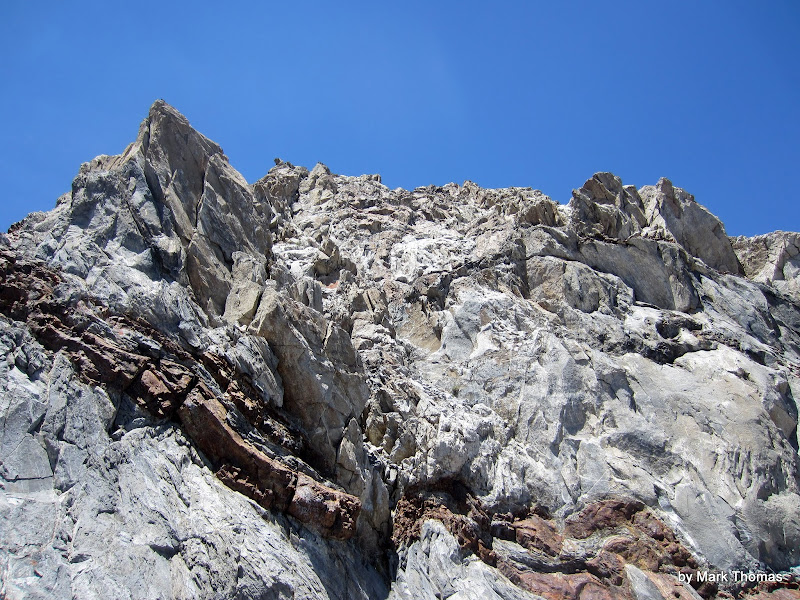
Red rock band. We climbed the rib where the rock was surprisingly good. I even did some unnecessary jam cracks here and there. We should have gone right, towards the right slab, but all of the route info emphasizes staying left and on better rock. Oops . . .
 Visit on ggpht.com Visit on ggpht.com
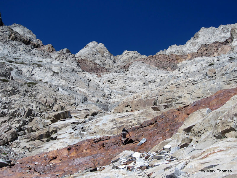
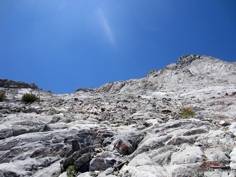
Reaching some slab near the top of our line. We thought we would turn the corner and reach the top.
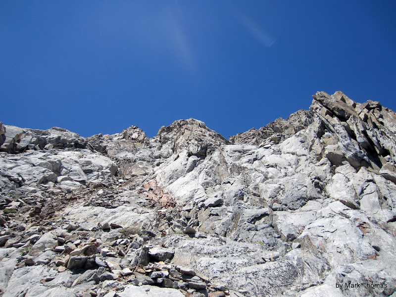 Visit on ggpht.com Visit on ggpht.com
End of the chute.
 Visit on ggpht.com Visit on ggpht.com
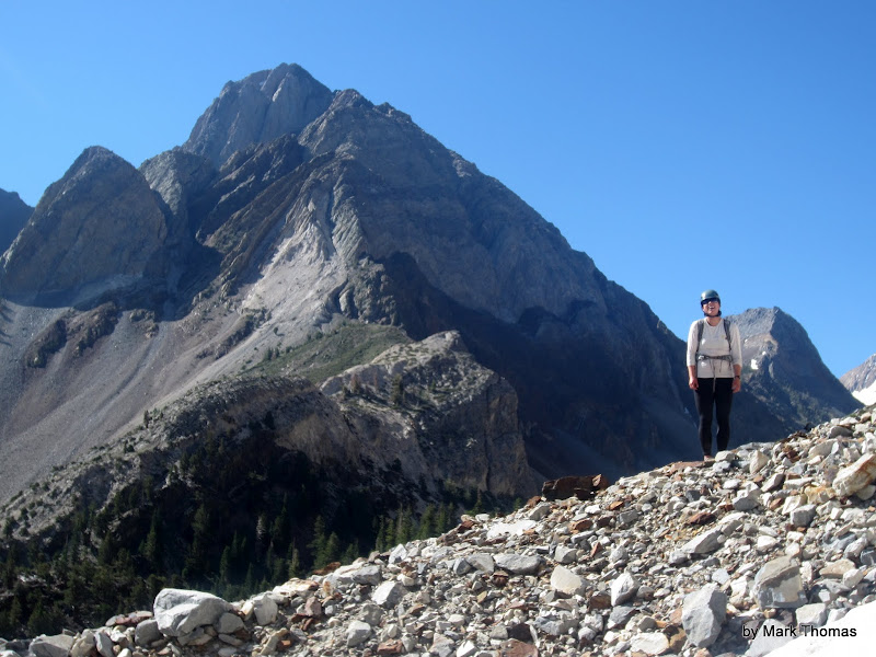
Ryan and Mt Morrison. This is looking less 'gully'-like.
 Visit on googleusercontent.com Visit on googleusercontent.com
Somehow this didn't match the route description for the NE 'Gully'. :-)
The Wombat Direct (aka E Ridge)
OK, I admit it. I took a seriously off-route variation. However, it seems like it might actually be a better way to go! Apart from a short cl. 4 section with loose boulders to avoid, the rest of the E Ridge was pretty nice cl. 2-3 scrambling on fairly solid rock, and I never got on anything nearly as loose as the final few hundred foot slog to the top. The E Ridge also feels a lot more airy and has better views!
 Visit on googleusercontent.com Visit on googleusercontent.com
We decided to take the summit by surprise. Team Trundle took a scattered approach while I flanked the summit unawares
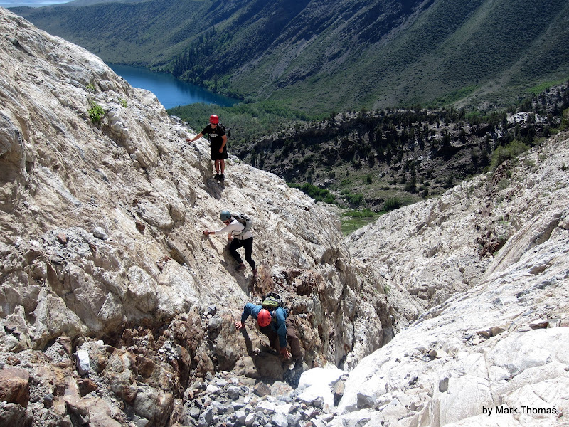
 Visit on ggpht.com Visit on ggpht.com
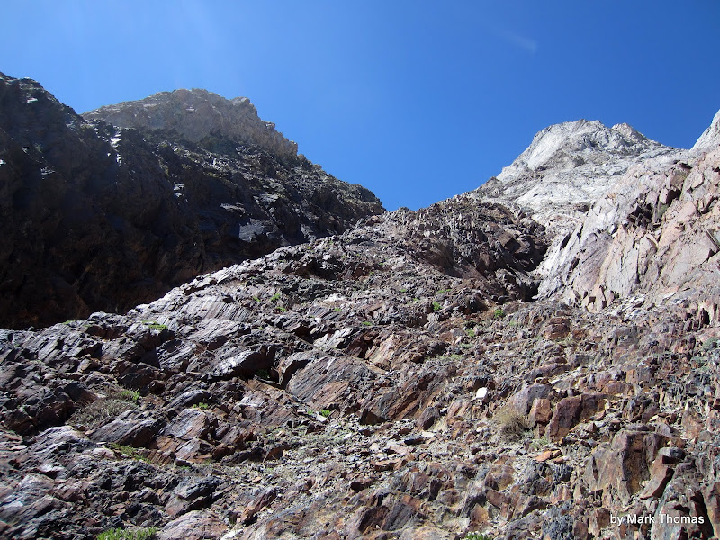
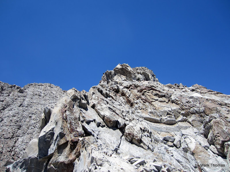
Beginning the climb of the East Ridge. From here the others chose to traverse back to the proper chute, while I decided to keep climbing up.
 Visit on ggpht.com Visit on ggpht.com
Crux of the E Ridge (cl. 4) in the beginning. The crux is crossing the red band in that corner. Watch out for the large loose talus stacked in a chute above that corner!
 Visit on ggpht.com Visit on ggpht.com
The others are trying another line of attack . . .
 Visit on ggpht.com Visit on ggpht.com
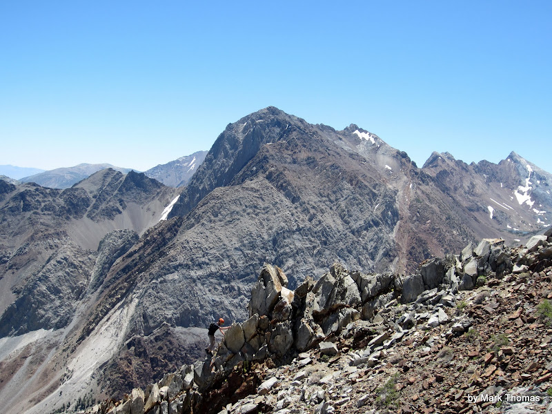
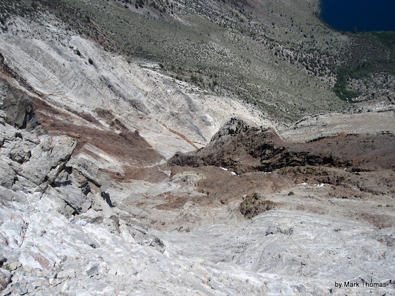
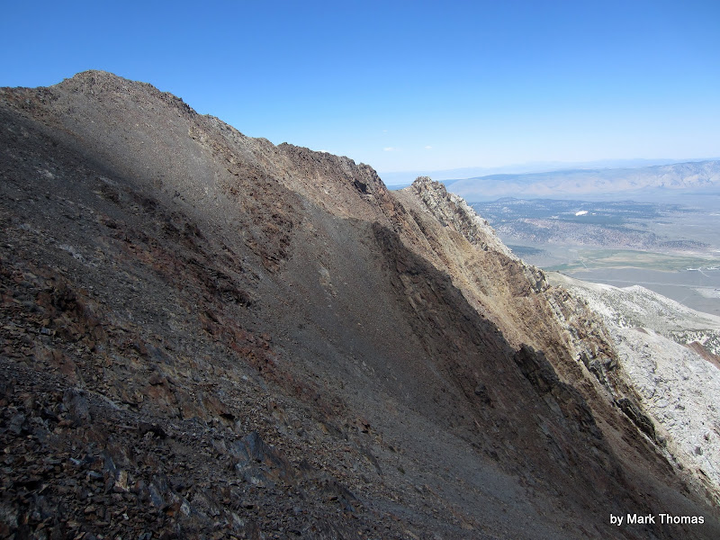
Looking down the E Ridge. It is (slightly) more solid than it looks. Still more fun than talus!
 Visit on ggpht.com Visit on ggpht.com
Notch in the E Ridge (cl. 3). Fortunately this wasn't as hard and loose as it first appeared.
 Visit on ggpht.com Visit on ggpht.com
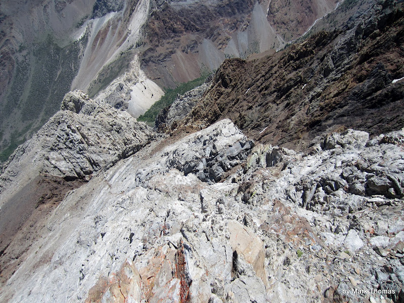
Ugly talus on the last few hundred feet of the proper route. I'm glad I'm not on that!
Summit Views
 Visit on ggpht.com Visit on ggpht.com
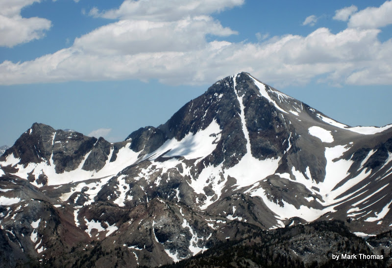
Red Slate Mountain.
 Visit on ggpht.com Visit on ggpht.com
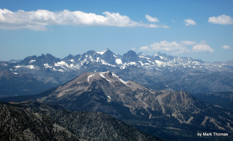
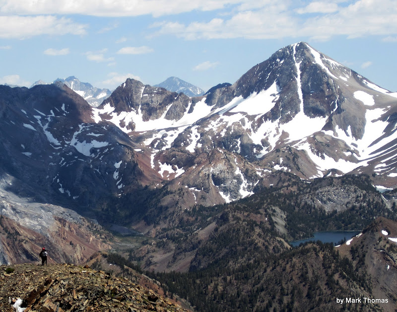
Ritter Range and Mammoth Mtn from the summit of Laurel Mtn.
 Visit on ggpht.com Visit on ggpht.com
Bloody Mountain
 Visit on ggpht.com Visit on ggpht.com
Unknown Pk to the NW.
 Visit on ggpht.com Visit on ggpht.com
Mt Baldwin.
Ive had a lingering interest of doing the N Ridge of Mt Morrison as a winter climb sometime, so I took various recon photos throughout the climb . . .
 Visit on ggpht.com Visit on ggpht.com
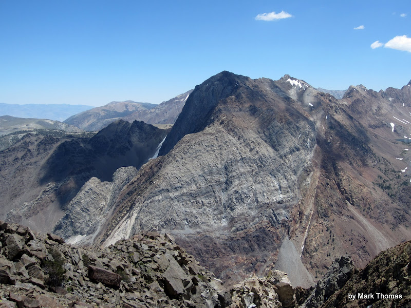
Mt Morrison
 Visit on ggpht.com Visit on ggpht.com
More Mt Morrison
 Visit on ggpht.com Visit on ggpht.com
Even More Mt Morrison
The Others Arrive
I slept on the summit for about an hour before I first heard Ryan coming up. Over the next hour the others gradually trickled in.
 Visit on ggpht.com Visit on ggpht.com
Nic and Rachel nearing the secondary summit.
 Visit on ggpht.com Visit on ggpht.com
Nic and Rachel on the secondary summit.
 Visit on googleusercontent.com Visit on googleusercontent.com
The summit is ours! (by Summit Boulder)
Descent
 Visit on ggpht.com Visit on ggpht.com
donWolf & Ryan chilling at the top of the scree chute on the descent.
 Visit on ggpht.com Visit on ggpht.com
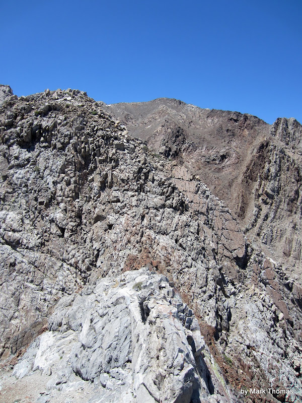
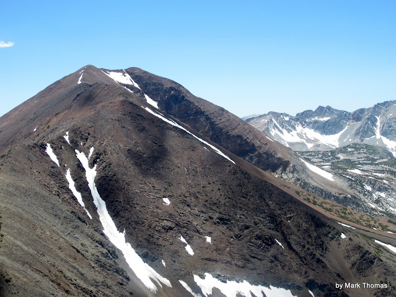
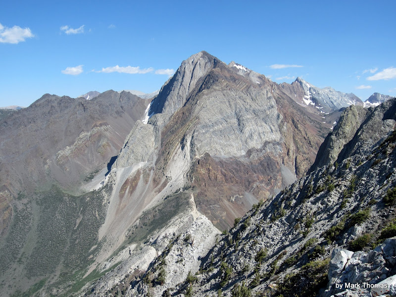
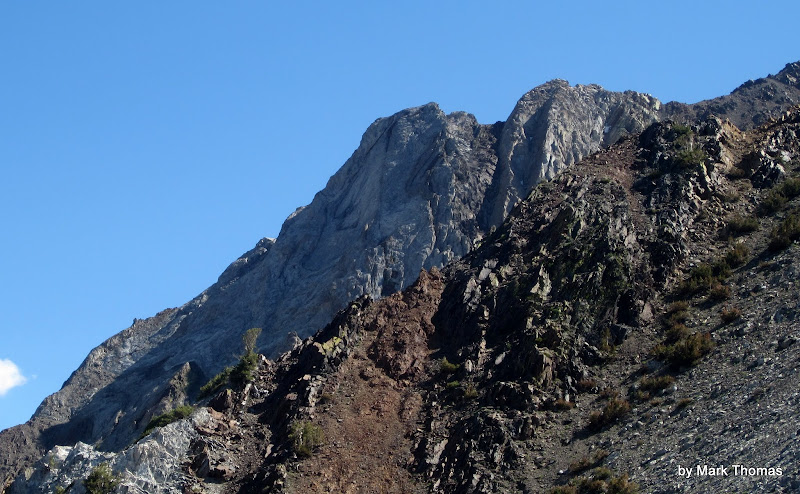
E Ridge of Laurel Mtn. I reached the ridge near that little tower on the left, and basically followed the skyline.
My first experience scree skiing was way back in 2003 when I was descending from Carillon Col after climbing the E Ridge of Russell, so by this time I've had plenty of opportunities to ride the flow. However, none of my friends had ever experienced such fun.
As the chute steepened I told them about scree skiing and that I hoped this sandy chute would allow a little bit. It sure did! Everyone took to the technique pretty quickly and we enjoyed hundreds of feet of scree skiing.
 Visit on ggpht.com Visit on ggpht.com
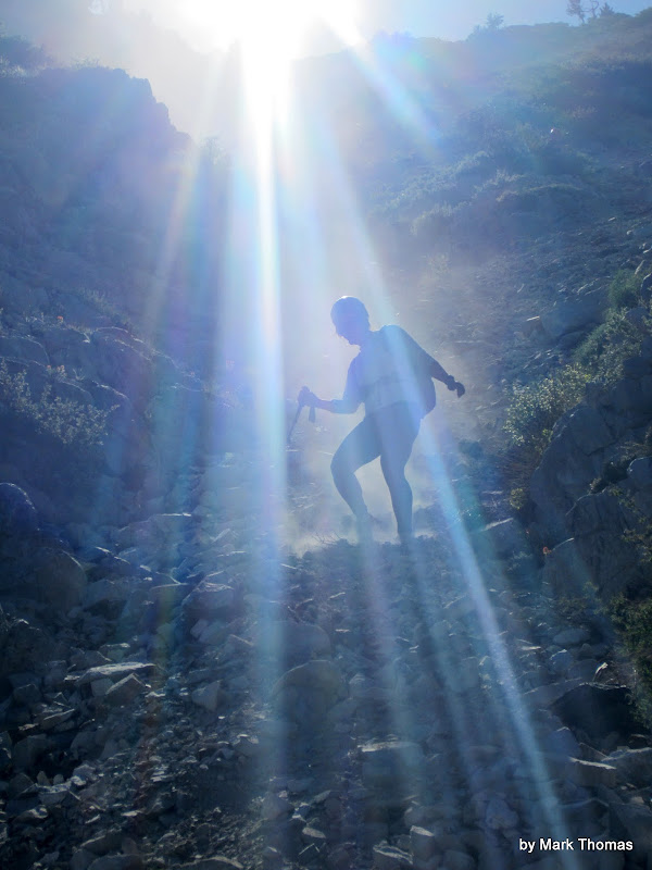
Scree skiing!
 Visit on ggpht.com Visit on ggpht.com
Rachel scree skiing!
My friend Ryan had the interesting insight that we could go down in pairs by staying close together, as we would ride the same flow and therefore not be at any greater risk of knocking rocks on each other.
 Visit on ggpht.com Visit on ggpht.com
Red Slate Pk from the trail.
Nic got some very interesting looks from hikers on the trail as we hiked back out along the lake.
 Visit on ggpht.com Visit on ggpht.com
Nic and his poor shoes.
 Visit on ggpht.com Visit on ggpht.com
Nic and his poor shoes.
I don't get why this route is listed in ST & Croft as a great Sierra scramble. There are many that are far better, although this one was one of the more geologically interesting routes I've done and it is fun enough. I could see it being much better as a ski descent though! It is definitely one of the easiest scrambles in the Sierra in terms of approach to get to some lengthy scrambling and you can knock it off in a few hours RT if you're fit for running up slab and scree skiing. The gully probably has one of the highest climbing-to-approach/descent length ratios in the Sierra, so perhaps that accounts for the popularity?
Links
Personal Website
 PellucidWombat
|
|
About the Author
PellucidWombat is a mountain climber from Berkeley, CA. |
Comments
karodrinker
Trad climber
San Jose, CA
|
|
|
|
Jul 20, 2012 - 01:20pm PT
|
Lol I love the pull harder salutes. Cool looking mountain!
|
|
10b4me
Social climber
Lida Junction
|
|
|
|
Jul 20, 2012 - 01:40pm PT
|
Climbed this with Fletcher way back in 2003. Lots of loose rock. We were off route also, and ended up to the right of the summit.
|
|
spyork
Trad climber
Tunneling out of prison
|
|
|
|
Jul 20, 2012 - 02:08pm PT
|
Climbed this route this year, lots of snow in gully, got forced off route multiple times. I think I will go back in late season and try to do the actual route, LOL.
Steve
|
|
10b4me
Social climber
Lida Junction
|
|
|
|
Jul 20, 2012 - 02:23pm PT
|
Actually think it would be better as a snow climb
|
|
Gunkie
Trad climber
Valles Marineris
|
|
|
|
Jul 20, 2012 - 02:37pm PT
|
That looks fun.
|
|
Some Random Guy
climber
|
|
|
|
Jul 20, 2012 - 02:54pm PT
|
good to know it's not as loose as it looks. hopefully get up there soon.
i've done the north ridge of mt. morrison, it is as loose as it looks pretty much all the way up....scree skiing uphill?!?! i'd still recommend it though as a non-technical scramble (if you like that sort of thing). i might repeat one day
|
|
PellucidWombat
Mountain climber
Draperderr, by Bangerter, Utah
|
|
|
Author's Reply
|
Jul 20, 2012 - 03:09pm PT
|
It looks like it is still a bit better than the rock on Mt Rainier's Curtis Ridge (TR in the works). While loose rock sucks, it can be nice on ridges since you get that satisfying experience of ripping/knocking a path along the route without the guilt/worry of pelting someone below. Just take care to see how the jenga is stacked before you go stomping and pulling!
Does that ridge ever collect much snow to cover the scree? Or is it usually blown off or melted out in the winter? It seems like a nice one to do as a solo trip or just a side trip while on the E Side for ice climbing or as a car-to-car fall back option if weather turns bad for a longer winter alpine objective.
Nevahbe Ridge on Mt Morgan (North) is a fun one on the area too. There is some loose or friable rock but it's not too bad, and you can keep it sustained 4th to low 5th if you stay right on the crest but you can usually drop down a short ways to make it cl. 2-3 if desired. It was a bit iffy to be hand traversing on a knife edge and feel the rock fin vibrate in your hands though, as if it were about to fracture . . .
|
|
10b4me
Social climber
Lida Junction
|
|
|
|
Jul 20, 2012 - 03:28pm PT
|
Nevahbe Ridge on Mt Morgan (North) is a fun one on the area too. There is some loose or friable rock
someone I was with knocked a rock loose, and almost clocked me on that route.
|
|
Ezra Ellis
Trad climber
North wet, and Da souf
|
|
|
|
Jul 20, 2012 - 03:31pm PT
|
Looks like some fun choss!
|
|
PellucidWombat
Mountain climber
Draperderr, by Bangerter, Utah
|
|
|
Author's Reply
|
Jul 20, 2012 - 03:54pm PT
|
Speaking of friable rock, does it could as hold chipping if you make new footholds out of the rock by stomping off the outer bits and grinding your shoes on it to wear a protrusion down to a stable feature? ;-)
There is some friable rock in the Morrison area that seems like cement in appearance and texture, and it is very easy to shape in this way.
|
|
Some Random Guy
climber
|
|
|
|
Jul 20, 2012 - 03:54pm PT
|
this was spring of 2011, high snow year. my guess is that it remains fairly clear all winter(?). the south and east side decent was all deep snow. when i become a better ice climber, and if i can muster up the balls, the death couloir would make for a terrifying day outing. i think the upper portion iced up more later season and i read online somewhere of someone soloing it!
Nevahbe Ridge on Mt Morgan (North)-can that easily be banged out as a c2c solo?
|
|
PellucidWombat
Mountain climber
Draperderr, by Bangerter, Utah
|
|
|
Author's Reply
|
Jul 20, 2012 - 04:17pm PT
|
That Death Couloir definitely looks like a nice climb if you can catch it in condition!
Nevahbe Ridge on Mt Morgan (North)-can that easily be banged out as a c2c solo?
Plenty easily if you're fit for peakbagging-type elevation gains and slogs. It is somewhere between 5,000 ft to 6,000 ft of gain, pretty much ascending and traversing the entire time. It has a lot of short sections of cl. 3-4 but most of it can be kept to cl. 2 if you wanted to (but why?). We moved continuously but not fast and managed to pound it out in 3/4 day as a warmup for a longer climbing weekend. We made it faster by dropping down sand & scree slopes to Davis Lake to the East and taking a trail/dirt road back. This is much faster than taking the standard ascent route down.
Picasa Album
The only thing I didn't care for on the route is that the summit plateau is a tedious pile of boulders and is much longer than it looks.
This was the highlight of the ridge, and the climbing crux. Other parts were harder but completely contrived for fun. To avoid this knife edge you have to go out of your way and drop down a hundred feet or so, but still not too much. This was the part with the vibrating rock fin hand traverse.
Mt Morgan North & Nevahbe Ridge from Hwy 395
Mt Morgan North & Nevahbe Ridge seen from the drive in
|
|
10b4me
Social climber
Lida Junction
|
|
|
|
Jul 20, 2012 - 04:02pm PT
|
we went up the loose chute, and then left to the summit.
Nevhabe ridge can be done C2C in a day.
|
|
Some Random Guy
climber
|
|
|
|
Jul 20, 2012 - 04:23pm PT
|
There is some friable rock in the Morrison area that seems like cement in appearance and texture, and it is very easy to shape in this way.
well as i remember, on the loose shale parts you could pull out loose rock on top and the stuff underneath was the same. you could keep digging and it didn't get anymore solid. there was one (or maybe two) short sections half way up where the rock type changed and it was of better quality. i remember reaching that part and thinking, finally! and then a few hundred feet later it was back to petrified mud wrestling.
thanx for the info and good tr's. very detailed. keep 'em coming
edit: who needs guide books when you have the wombat
|
|
PellucidWombat
Mountain climber
Draperderr, by Bangerter, Utah
|
|
|
Author's Reply
|
Jul 20, 2012 - 04:31pm PT
|
|
|
Rudyj2
Sport climber
UT
|
|
|
|
Jul 20, 2012 - 05:56pm PT
|
looks like fun!
|
|
Dirka
Trad climber
Hustle City
|
|
|
|
Jul 20, 2012 - 09:00pm PT
|
lOOKS great!
|
|
|
 |
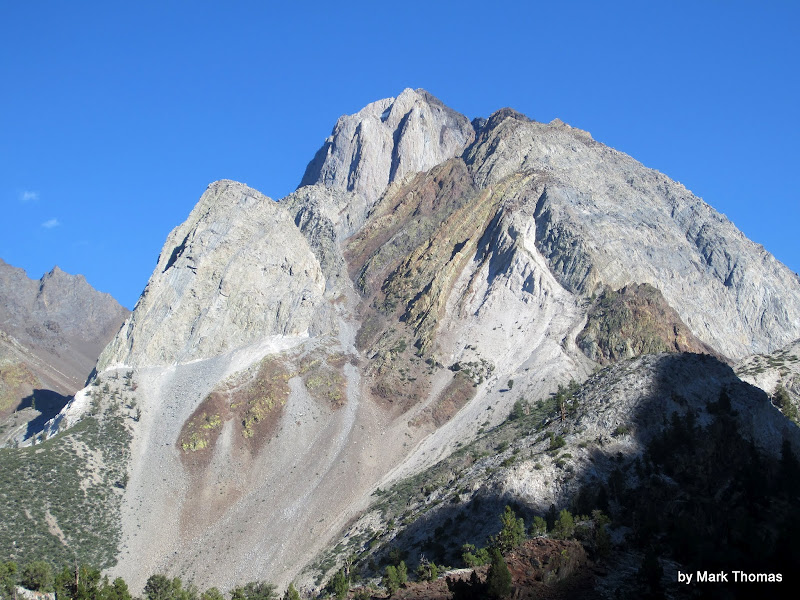
|
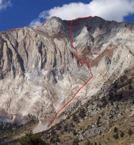
The route as seen from Convict Lake. Photo: Chris McNamara
Recent Trip Reports
- The Kohala Ditch Trail: 36ish hrs on foot... to and from the headwaters. [5 of 5]
May 31, 2019; 11:57pm
- A Winter Traverse of the California section of the PCT Part 8
May 31, 2019; 11:18pm
- Supertopo,A trip report for posterity
May 31, 2019; 11:00pm
- Balch Fest 2013. Two Days in and Around and On The Flake. The Official Trip Report
May 31, 2019; 10:57pm
- TR: My visit to the Canoe
May 31, 2019; 10:24pm
- Death, Alpine Climbing, The Shield on El Cap
May 31, 2019; 4:07pm
- Andy Nisbet (1953-2019)
May 31, 2019; 2:11pm
- Drama on Baboquivari Peak
May 31, 2019; 1:19pm
- Joffre + The Aemmer Couloir: ski descents come unexpected catharsis [part 2]
May 31, 2019; 7:45am
- Lost To The Sea, by Disaster Master
May 30, 2019; 5:36am
- My Up And Down Life, Disaster Master
May 29, 2019; 11:44pm
- Halibut Hats and Climbers-What Gives?
May 29, 2019; 7:24pm
- G Rubberfat Overhang-First Ascent 1961
May 29, 2019; 12:28pm
- Coonyard Pinnacle 50 Years Later
May 29, 2019; 12:24pm
- Great Pumpkin with Mr Kamps and McClinsky- 1971
May 29, 2019; 12:02pm
- View more trip reports >
|