I've lived on Vancouver Island almost all my life and out of all 4 seasons spring has usually been my least favorite. We are on the "wet" coast after all, but in the last 3 years we have had a few patches of unseasonably good weather roll through in late march and onwards. 3 years in a row we had stellar skies for our annual 4 day Easter sailing trip. I was beginning to enjoy the spring ski-touring that the coast had to offer but when the snow started to harden, I yearned for a good alpine slog. I hadn't had the axes out in a while and I wanted to climb something fun.
In the weeks of late may and early april I had made a few aborted plans to climb Mt Arrowsmith, this peak holds significance in mountaineering history not only because it is one of the largest summits on southern Vancouver Island but because it was from here that Don and Phyllis Munday first caught a glimpse of Mt. Waddington or "The Wad" as it is affectionately known.
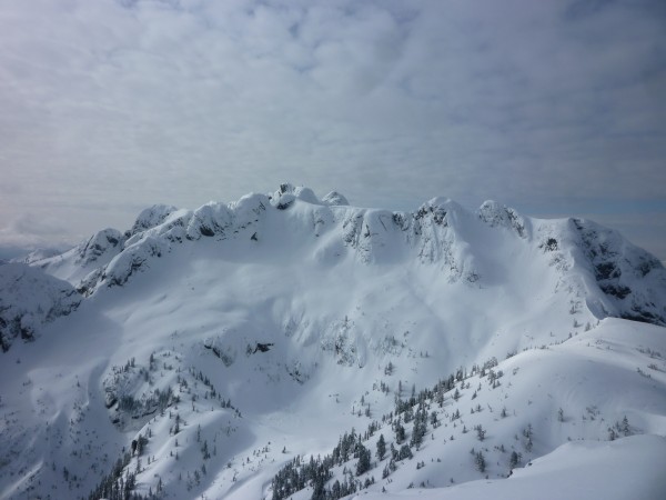 Mt. Arrowsmith from Cokely summit Credit: Synchronicity |
||
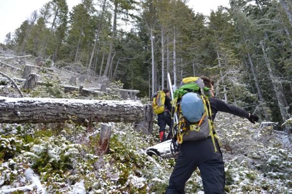
The start of the approach is standard, your typical Island Logging slash, something that can only be appreciated by true west coast bushwhackers.
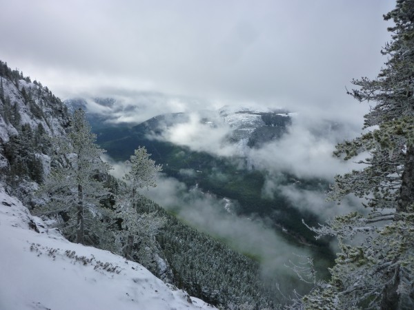
 Credit: Synchronicity |
||
 Credit: Synchronicity |
||
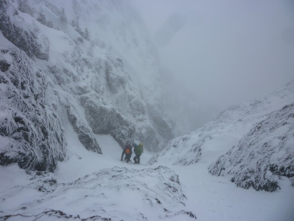
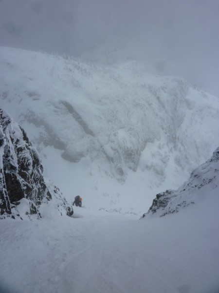
 Looking up the lower gully Credit: Synchronicity |
||
 Credit: Synchronicity |
||
 Credit: Synchronicity |
||
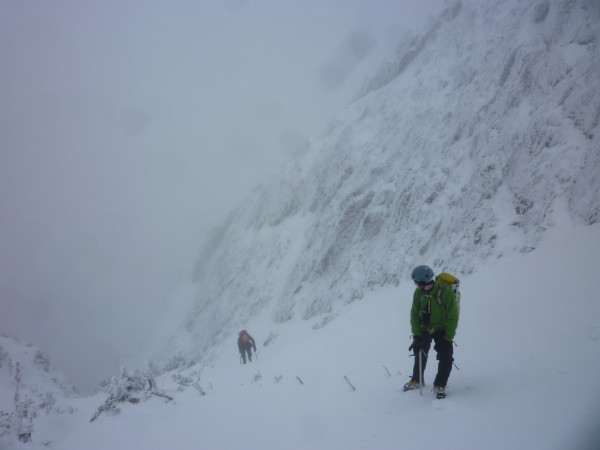
 Mixed rock and ice step between the upper and lower gullies Credit: Synchronicity |
||
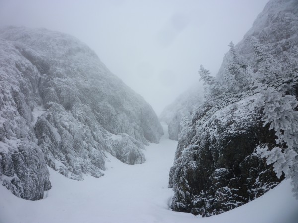
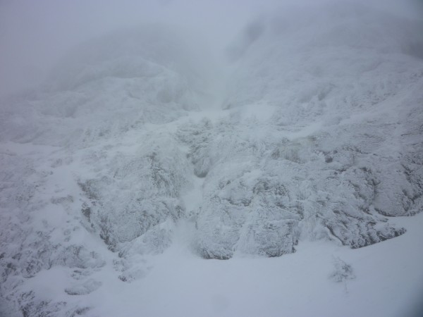
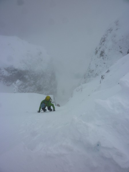
As you enter the upper gully the angle begins to steepen, we kick our points in and trudge upwards. A fall here and you'd slide so fast you'd shoot off the rock step and land in the lower gully.
 Credit: Synchronicity |
||
 Credit: Synchronicity |
||
 Credit: Synchronicity |
||
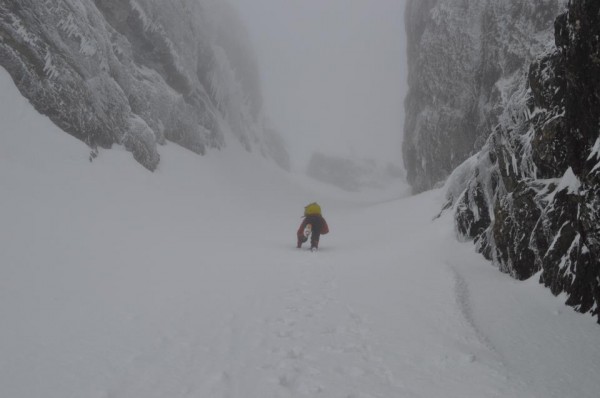
We didn't stay for long as we quickly reversed our steps dropped back into the and kicked our way back down the gully, reversing the rock band until we arrived back at the base, where the weather promptly turned bluebird, typical spring.
Of course reversing our route meant back out through the steep forest, through the logging slash, rednecks shooting rifles on the logging roads near the car, and all the goodies a typical slog has to offer.
I'm learning to love the spring these days, there is excitement in the unpredictability, a delight in the snow cover, a joy to the sogginess...